Satellite dish alignment
Nusantara 146°E
Align your dish to Nusantara 146°E for Asia-Pacific connectivity infrastructure. Enter your location to calculate azimuth, elevation and LNB skew.
Your location
Latitude: °
Longitude: °
Satellite Data
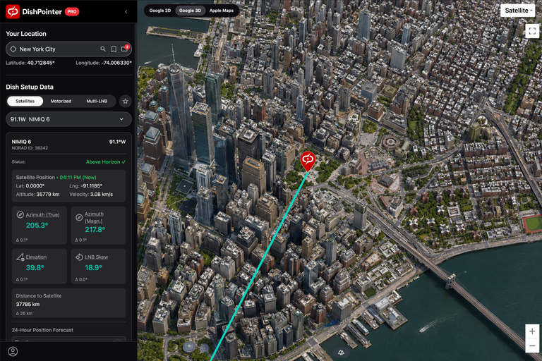
Dish Setup Data
...Azimuth (true)
Azimuth angle relative to true north
°
Azimuth (mag.)
Azimuth angle relative to magnetic north. Use this with a compass.
°
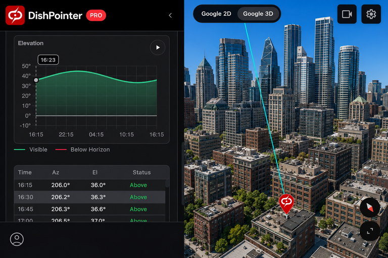
Elevation
Angle between the dish and the horizontal plane. Set this on the dish mount.
°
LNB Skew
Rotation direction when standing behind the dish. Zero when LNB is vertical.
°
Satellites at this position
Initial direction uses Nusantara SATU at 146°E. Select a satellite in the calculator to use its position.
Nusantara SATU
- NORAD ID
- 44048
- Orbital position
- 146°E
- Orbit class
- Geostationary
- Operational state
- On station
- Inclination
- Longitude drift
- Service area
- Service area indicated for this satellite
- Operators
- Pasifik Satelit Nusantara
Nusantara TIGA (SATRIA)
- NORAD ID
- 57045
- Orbital position
- 146°E
- Orbit class
- Geostationary
- Operational state
- On station
- Inclination
- Longitude drift
- Service area
- Service area indicated for this satellite
- Operators
- Pasifik Satelit Nusantara